Professional Land Survey Services
GoldRoom Construct provides comprehensive land surveying services using state-of-the-art technology to deliver accurate data for your construction projects. Our certified surveyors ensure precise measurements for successful project planning and execution.
From boundary determination to topographic mapping, our surveying services provide the critical foundation needed for all your construction and development projects in Ghana.

Comprehensive Survey Services
Accurate surveying for all project types
Topographic Survey
Detailed mapping of natural and man-made features including elevations, contours, trees, buildings, and utilities.
- Contour mapping at various intervals
- Feature identification and location
- Digital terrain modeling
- CAD-ready deliverables
Boundary Survey
Precise determination of property boundaries, corners, and lines for legal and development purposes.
- Property corner establishment
- Boundary line determination
- Easement identification
- Legal documentation preparation
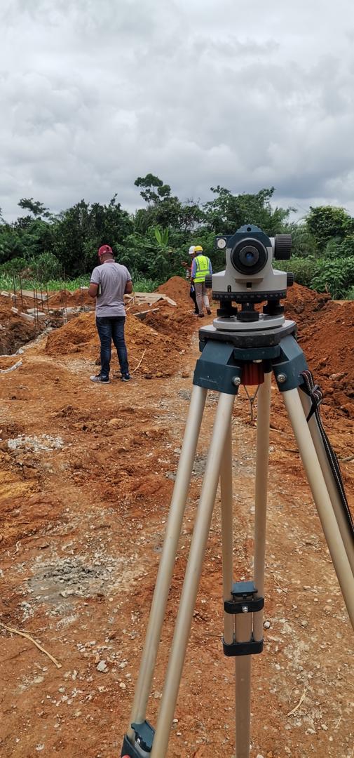
Construction Staking
Precise layout of building corners, walls, columns, and other structural elements according to architectural plans.
- Building layout and positioning
- Grade and elevation staking
- Utility line location
- As-built verification
Hydrographic Survey
Underwater surveying for marine construction, dredging, and coastal development projects.
- Bathymetric mapping
- Underwater feature detection
- Sediment analysis
- Navigation channel surveys
Advanced Survey Technologies
Cutting-edge equipment for precise results
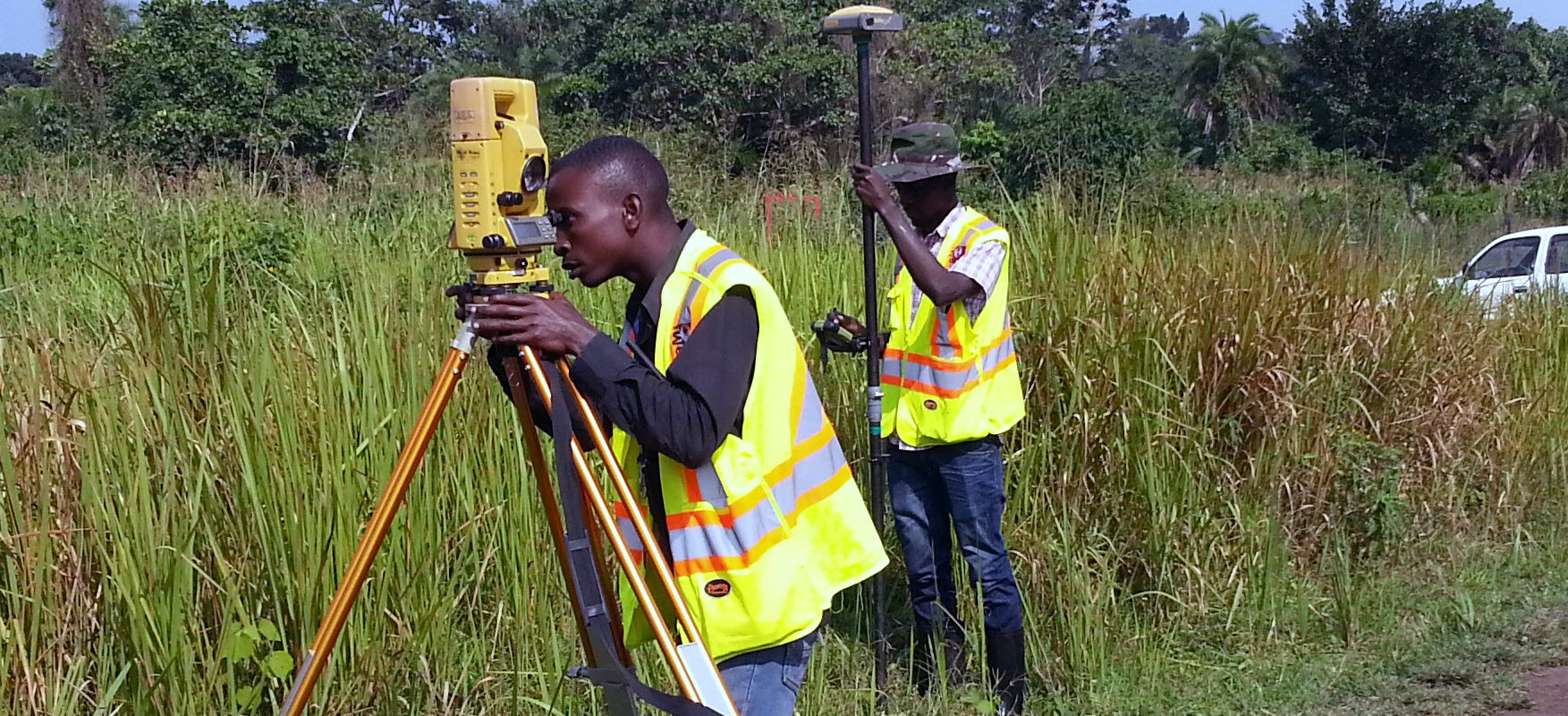
GNSS/GPS Surveying
High-precision satellite positioning systems for accurate coordinate determination and mapping.
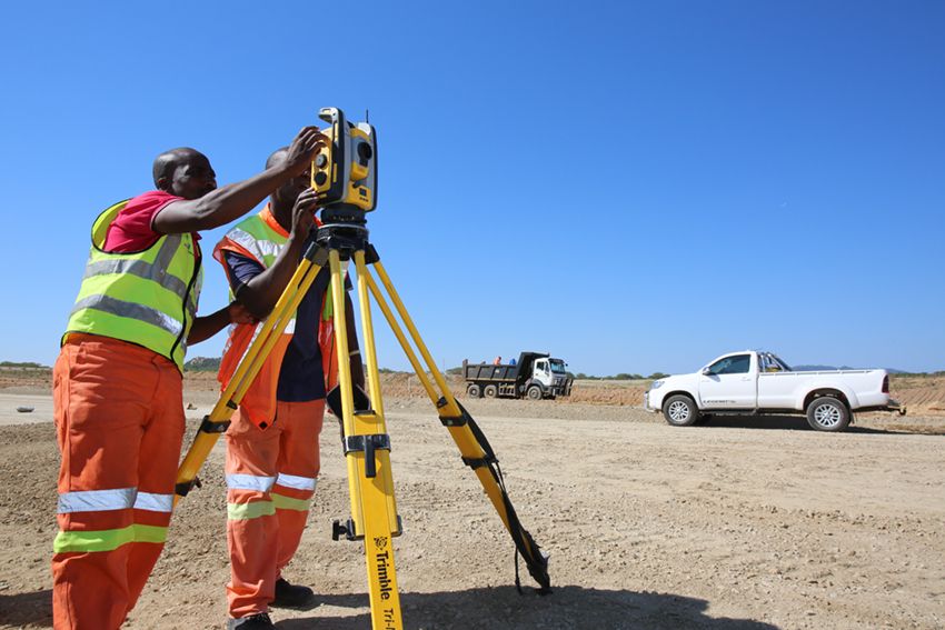
Total Stations
Electronic/optical instruments for precise angle and distance measurements with millimeter accuracy.
Drone Surveying
Aerial photogrammetry and LiDAR for large-area surveys and 3D modeling with centimeter accuracy.
3D Laser Scanning
High-resolution laser scanning for detailed as-built documentation and complex structure analysis.
Survey Project Case Studies
Demonstrating our surveying expertise
Tema Industrial Park
Industrial DevelopmentComprehensive topographic and boundary survey for a 50-acre industrial park development, including utility mapping and contour analysis.
East Legon Residential Estate
Residential DevelopmentBoundary surveys and construction staking for a 200-unit residential estate, ensuring precise plot demarcation and building positioning.
Accra Mall Extension
Commercial ComplexDetailed topographic survey and as-built documentation for a major shopping mall expansion project in Accra.
State-of-the-Art Survey Equipment
Advanced tools for precise measurements
GNSS Receivers
High-precision GPS/GNSS receivers for centimeter-level accuracy in positioning and navigation.
Robotic Total Stations
Automated total stations with remote operation capabilities for efficient single-person surveying.
Survey-Grade Drones
UAVs equipped with high-resolution cameras and LiDAR for aerial mapping and 3D modeling.
3D Laser Scanners
Terrestrial laser scanners for rapid, high-density point cloud data collection of structures and terrain.
Surveying Workflow
Systematic approach to accurate surveying
Project Assessment
Site evaluation, requirement analysis, and survey planning based on project specifications.
Field Data Collection
On-site measurement using advanced surveying equipment and techniques for accurate data capture.
Data Processing
Analysis and processing of collected data using specialized survey software and CAD applications.
Report & Delivery
Preparation of survey reports, drawings, and digital deliverables with quality assurance.
Need Professional Surveying Services?
Contact us today for accurate land surveying services that form the foundation of your successful construction project in Ghana.
All surveys performed by certified professionals with state-of-the-art equipment